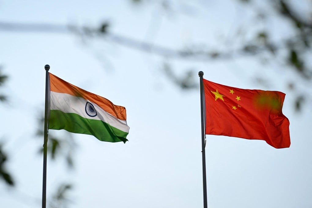
The Indian government announced the move on Friday, just a day after officials from the two countries held a working-level consultation in New Delhi to discuss border management and reaffirm the need for peace along the Line of Actual Control.
Beijing has long referred to the northeastern border state as Zangnan , or southern Tibet.
In a statement, India’s Ministry of Home Affairs said the Survey of India had issued standard names for the locations to ensure “accurate recognition” and improve public awareness of their geographical and historical significance.
The list includes 21 land areas, four mountain passes, a high-altitude lake and a memorial. The names have been added to official Survey of India maps.
Among them are Longju, a village that was the scene of a 1959 border confrontation, as well as the nearby villages of Maja and Bisa and the high-altitude Thag La, the strategic pass where the 1962 border war between India and China erupted.