
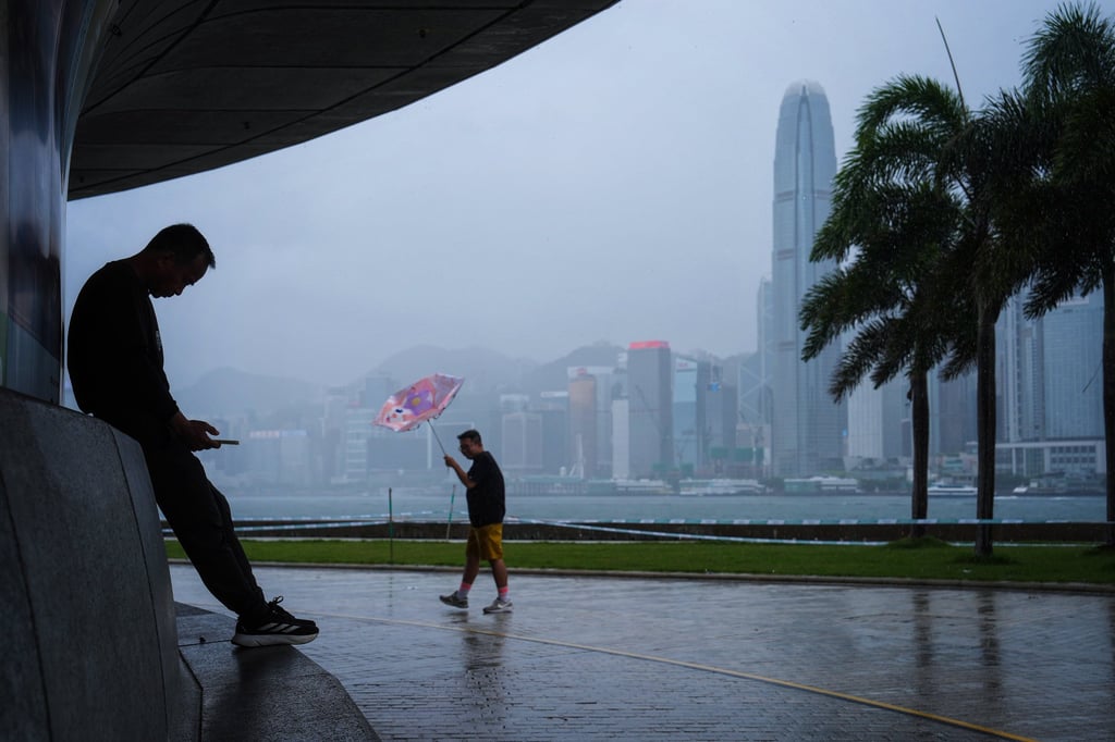
Hong Kong’s weather forecaster has issued the amber rainstorm alert, warning that there may be flooding in some low-lying and poorly drained areas.
The Observatory issued the amber rainstorm warning signal at 8pm on Tuesday. The warning, the lowest level in a three-tier system, signifies that heavy rain exceeding 30mm in an hour has fallen or is expected to fall generally over Hong Kong and is likely to continue.
“A broad trough of low pressure is bringing showers and thunderstorms to the coast of Guangdong and the northern parts of the South China Sea,” the forecaster said.
An area of low pressure might develop over the broad trough of low pressure and bring unsettled weather to the vicinity of Luzon, it said. Another area of low pressure would develop in the seas east of the Philippines and move into the East China Sea in the latter part of the week.
“Winds are expected to be weak and it will be very hot during the day over Guangdong towards the weekend. A southwesterly airstream will affect the coastal areas early next week,” the Observatory said.
Choose your listening speed
Get through articles 2-3x faster